RUFUS' SHADOW
Cradle Mountain–Lake St Clair National Park, with its ancient rainforests and alpine heaths, is home to the world-famous Overland Track, the iconic Cradle Mountain but also Lake St Clair, Australia's deepest freshwater lake. Part of the Tasmanian Wilderness World Heritage Area, the park is one of the state's most special places, where ancient pines fringe glacial lakes and icy streams cascade down rugged mountains. - Discover Tasmania
|
The Cradle Mountain - Lake St Clair National Park, located deep in the Southwest Wilderness World Heritage Area, is home to some of the most diverse and spectacular landscapes in Tasmania.
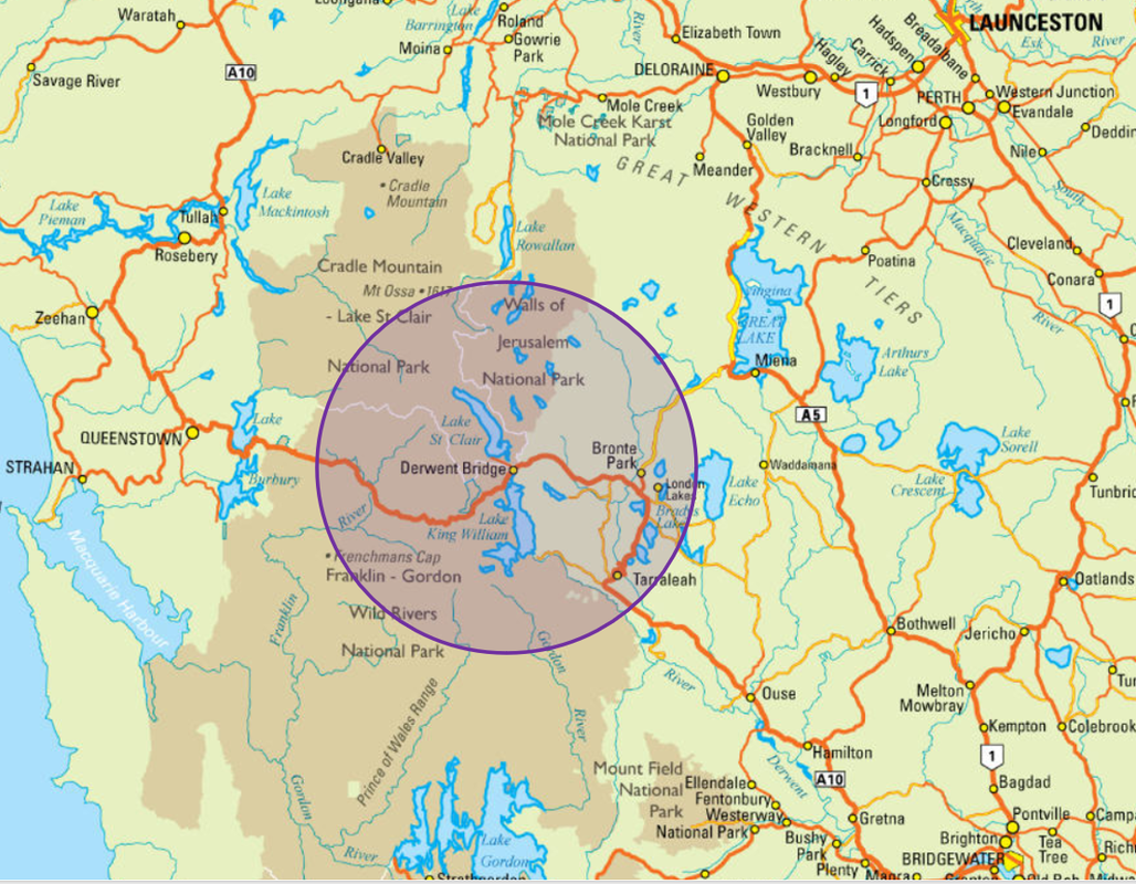
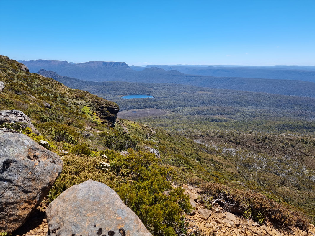
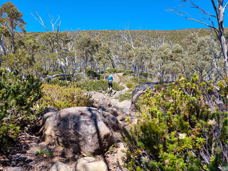
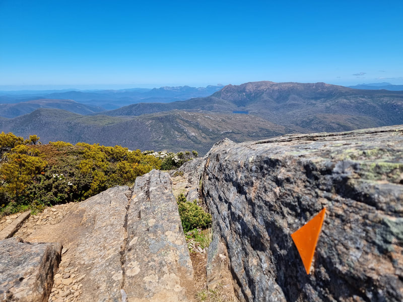
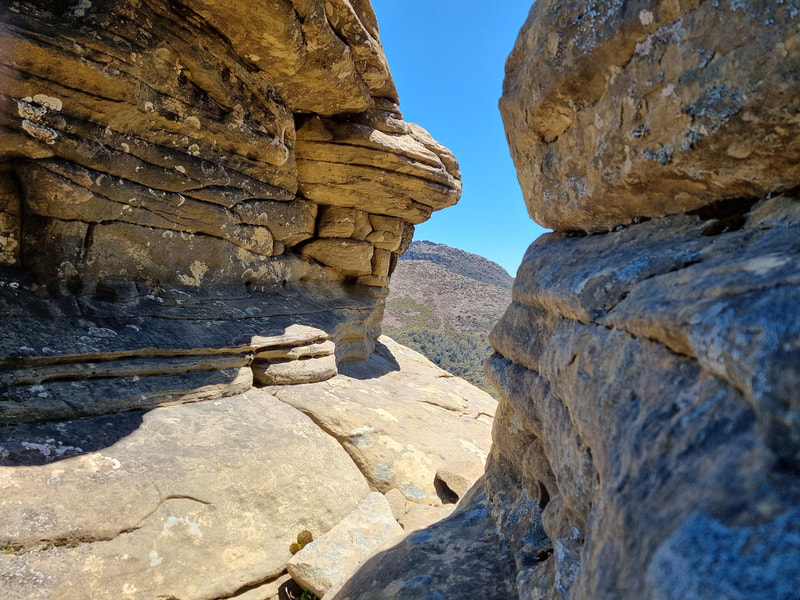
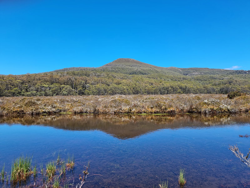
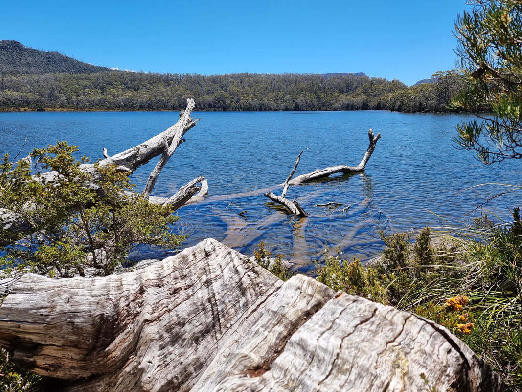
The route begins at the Lake St Clair Visitor Centre, a concluding point for the famous Overland Track. From here you will gradually climb up a narrow, rocky trail into the heavens and onto the Mt Rufus plateau. Views await! Looking south you will see endless mountains in the Southwest Wilderness World Heritage Area, and then looking north-west you will be amazed by the landscape heralding The Overland Track region. Lake St Clair will lie a long way below you now! The descent takes you through unusual sandstone pagoda outcrops before reaching the plains that lead towards Shadow Lake. This is a fantastic spot for a VERY refreshing swim! Then homeward bound via The Water's Meet, a juncture of freshly flowing streams, and then the shores of Lake St Clair where another cold dip awaits! Congratulations! |
The Route
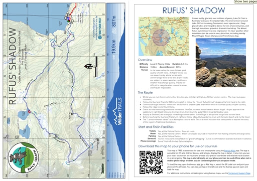
- Begin at the Lake St Clair Visitor Centre and head west on the trail towards The Water's Meet. This is the final stretch of The Overland Track and leads to all walking trails in the area. Please note, whilst you can run this circuit in either direction we recommend following the circuit in a clockwise manner.
- After around 500m, turn left to follow the “Mount Rufus Circuit” skipping the first track to the right which is the 'Larmairremener tableti trail', an Aboriginal cultural walk that we highly recommend saving for later, perhaps as a recovery meander?
- Continue through beautiful forest until the turnoff to Shadow Lake. Veer left and upwards, where the track will climb quickly into open country where big views back to Lake St Clair and Mt Olympus await you.
- Continue climbing to the Mount Rufus ridge line and then follow this on towards the summit. Wow!
- As you descend past the summit and head north towards Mount Hugel, make sure you pause to check out the interesting sandstone formations. Turn right to Shadow Lake near the saddle.
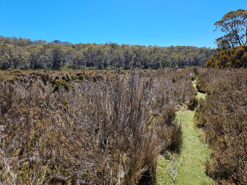
- The descent flows beautifully through pandani and rainforests, before opening onto wide plains before reaching Shadow Lake. Turn left at the junction and proceed a short distance on towards Shadow Lake to enjoy a refreshing summer swim.
- Continue past Shadow Lake and skip over the rocky terrain down, down, down until you reach the river that flows into The Water's Meet.
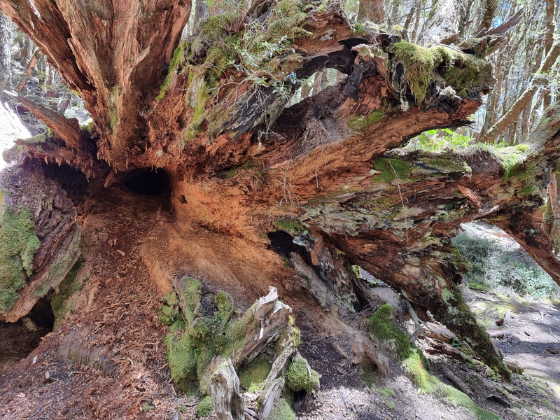
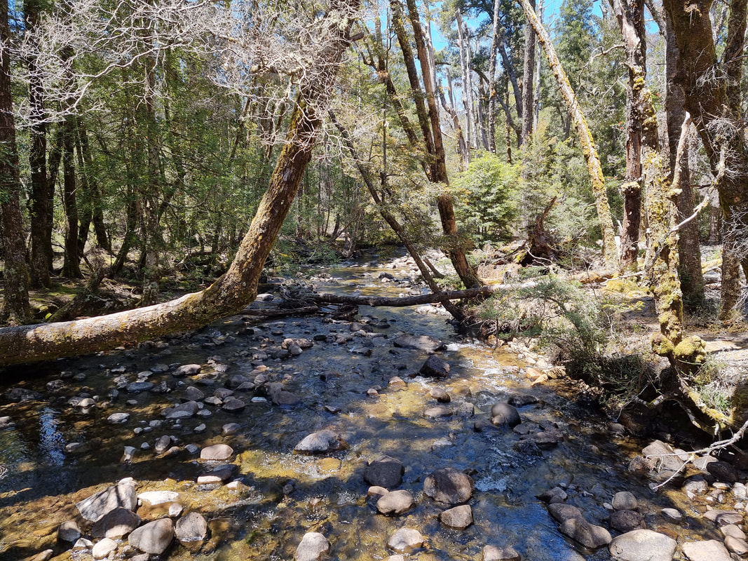
- Just before reaching the Overland Track turn right to follow a very beautiful wandering track called the "Larmairremener tablet". This is an aboriginal cultural walk in honour of the region's traditional custodians, and short educational inclusion. It also have fantastic beech and myrtle trees to marvel at!
- At this trails end, turn left and travel a short distance before rejoining The Overland Track. Turn right and follow the very wide, wandering track back to the Lake St Clair Visitor Centre only a short distance away.
- Well done! What an effort! Reward yourself with an icy plunge of the Lake St Clair jetty!
Start and Finish Facilities
Toilets Yes - at the Lake St Clair Visitor Centre
Water Yes - at the Lake St Clair Visitor Centre and at fast-flowing streams or large lakes on route (not recommended during dry seasons)
Parking Yes - at the Lake St Clair Visitor Centre
Services Limited food, beverage & accommodation services at the Lake St Clair Visitor Centre. The nearest comprehensive services are located at New Norfolk to the east or Queenstown to the west. We recommend booking accommodation in advance.
Phone coverage Some Telstra & limited Optus reception.
|
Mapping & directions for this route
We have created 4 easy ways for you to choose from to safely and enjoyably navigate your way around this route. From a physical map to the more technology savvy, we have your safety at heart!
|
|
FREE TO DOWNLOAD
|
Digitally interactive map for use on your smartphone (FREE)
This map is available for use on a smartphone using the Avenza Maps app. It runs on Android or iOS (iPhones & iPads) and lets you display the route map in detail and see exactly where you are on it. This will be invaluable in an emergency or if you are just unsure of your location on the course. You don’t need to be within mobile phone range to use the map as it’s stored locally. To load the map, open the Avenza app, go to Add Map, select the QR code icon and point your phone at the QR code here. To get the Avenza map app for your phone, see www.avenzamaps.com or just search for Avenza on the App Store or Google Play. For instructions on loading and using Avenza maps, see www.terrainium.com.au/UsingAvenzaMaps |
Concluded the route? Don't forget to get your completion badge or lapel pin!
|
Highlights
|
About Cradle Mountain & the Cradle Mountain-Lake St Clair National Park and World Heritage Area
With thanks to the Tasmanian National Parks & Wildlife Service, Pumphouse Point Accommodation and Discover Tasmania for access to the following information...
Overview
The atmosphere at Lake St Clair is moody and ethereal – there’s an almost enchanted presence at this tranquil place. The Aboriginal name for Lake St Clair is leeawuleena, meaning ‘sleeping water’, and on still days you can truly appreciate the origins of this name.
Lake St Clair is part of the celebrated Cradle Mountain-Lake St Clair National Park – the heart of the Tasmanian Wilderness World Heritage Area. It is at Lake St Clair that Tasmania’s most iconic multi-day walk, the Overland Track, comes to an end. Over six days, bushwalkers on this renowned track traverse a diverse and spectacular landscape, finishing up at the lake’s edge.
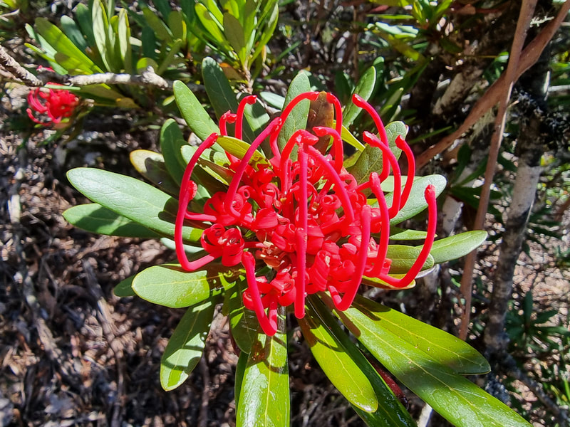
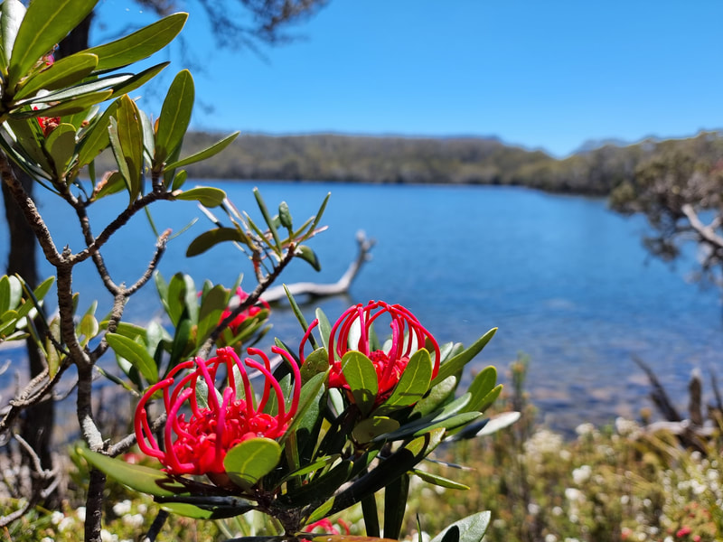
A place for all seasons, discover deep snowdrifts in winter on the higher mountain slopes, spectacular displays of yellows, oranges and reds across the mountain slopes in autumn as Tasmania’s deciduous Fagus turns colour, playful young joeys & hungry echidnas emerging in spring, and the fragrance of wildflowers filling the air as you dip your toe into a crystal-clear lake on a summer’s day. Mt Rufus is also a delight for Waratah seekers!
Carved out by glaciers over millions of years, Lake St Clair is Australia's deepest freshwater lake. Located at the southern end of the Cradle Mountain-Lake St Clair National Park, it forms part of Tasmania's Wilderness World Heritage Area and offers spectacular scenery, an award-winning visitor centre, and a range of beautiful walks to suit every ability.
The environment around Lake St Clair is among Tasmania's most spectacular. Deep glacial lakes are fringed by dense forests of ancient pines, and the high mountains provide a dramatic backdrop. Native wildlife is abundant in the area – Bennett's wallabies and pademelons are easily spotted by visitors to the lake, and wombats, echidnas, quolls, and platypus are also resident.
Cultural heritage
Tasmanian Aboriginal people have a long and continuing relationship with the area around Lake St Clair. The traditional name for the lake itself is leeawuleena, meaning ‘sleeping water’, and today's vegetation patterns show signs of thousands of years of Aboriginal burning practices.
There are a number of Aboriginal historic sites and artefacts, including remnant stone tools, caves and rock shelters, which you can learn more about on the Aboriginal Cultural Heritage Walk which departs from Lake St Clair.
There are a number of Aboriginal historic sites and artefacts, including remnant stone tools, caves and rock shelters, which you can learn more about on the Aboriginal Cultural Heritage Walk which departs from Lake St Clair.
European Culture
Lake St Clair... Admired for its scenery by the few who visit - The Tasmanian Guidebook, 1871
The first European explorer to see the lake was surveyor William Sharland in 1832, with George Frankland leading an expedition to it three years later. In 1840 James Calder cut a track from the lake to Macquarie Harbour, followed by another more practical track by Burgess. The Burgess track was maintained and recut by miners until 1883 when a new lower level route was discovered, which later became the Lyell Highway.
The area surrounding the lake was used by snarer and hunters from 1860 until the collapse of the fur trade in the 1950s, although it was illegal from 1927 onwards.
In 1937 the Derwent river was dammed just below the lake, and a pumping station installed - enabling Hydro Tasmania to drain the lake up to 6 metres and feed water to the Tarraleah Power Station. The fluctuating water levels have caused erosion and environmental degradation since. The pumphouse was decommissioned in the 1990s, and transformed into a hotel in 2015.
The Cradle Mountain-Lake St Clair area was declared a scenic reserve in 1922, a wildlife reserve in 1927, a national park in 1947 and a world heritage area from 1982.
With regards to tourism, in 1871, the Tasmanian Guidebook mentioned Lake St Clair as being 'admired for its scenery by the few who visit'. By 1900 there was a boatshed, accommodation, improved access and horse paddocks at Cynthia Bay, with the first tourists arriving by car in 1915. From 1911 the beginnings of the Overland Track to Cradle Mountain began to form, with the route officially blazed by Bert Nichols in 1931. A guesthouse was built at Cynthia Bay in 1930, followed by improved parking, camping and visitor facilities. The lake has been a popular tourist destination, with most tourists visiting to walk, photograph and learn about the history. Following a decision by the Tasmanian Government to allow development in national parks and conservations areas an 'in principle' permit was granted for the establishment of an 'eco-friendly' resort at Pumphouse Point at Lake St Clair; completed in 2015.
A rumbling glacier grinds down an alpine landscape, forging a steep ravine in its wake. Filling with melted snow and freezing rain, the deepest lake in Australia is born. - Pumphouse Point Accommodation
Flora & Fauna
Lake St Clair's biodiversity spans ancient rainforests to alpine heaths and grasslands. You'll find ancient plants and trees such as the endemic King Billy Pine, the native deciduous beech tree, myrtle, sassafras, buttongrass, and tea tree.
The environment around Lake St Clair is among Tasmania's most spectacular. Deep glacial lakes are fringed by dense forests of ancient pines, and the high mountains provide a dramatic backdrop. Native wildlife is abundant in the area – Bennett's wallabies and pademelons are easily spotted by visitors to the lake, and wombats, echidnas, quolls, and platypus are also resident. We ask you to tread gently, remembering that we are visitor's to their habitats.
Like much of Tasmania’s highlands, Lake St Clair is the result of intense glaciation in previous ice ages. The deep basin in which the lake lies was scoured out by the action of glaciers. Moraines, where debris is forced to the margins of the glacier, run along part of the length of the lake. The Watersmeet Track runs along the top of one of these moraines.
The lake is the deepest in Australia, with a maximum depth of 167 metres.
Help the Cradle Mountain & Lake St Clair National Park!
There are some active volunteer groups who help to preserve & protect the Cradle Mountain - Lake St Clair National Park. We strongly encourage you to get involved!

