Difficulty
Level 2: Playing Wilder
DISTANCE
→ 24.8km
ASCENT / DESCENT
↑ 1475 ↓ 1475
ROUTE STYLE
LOOP

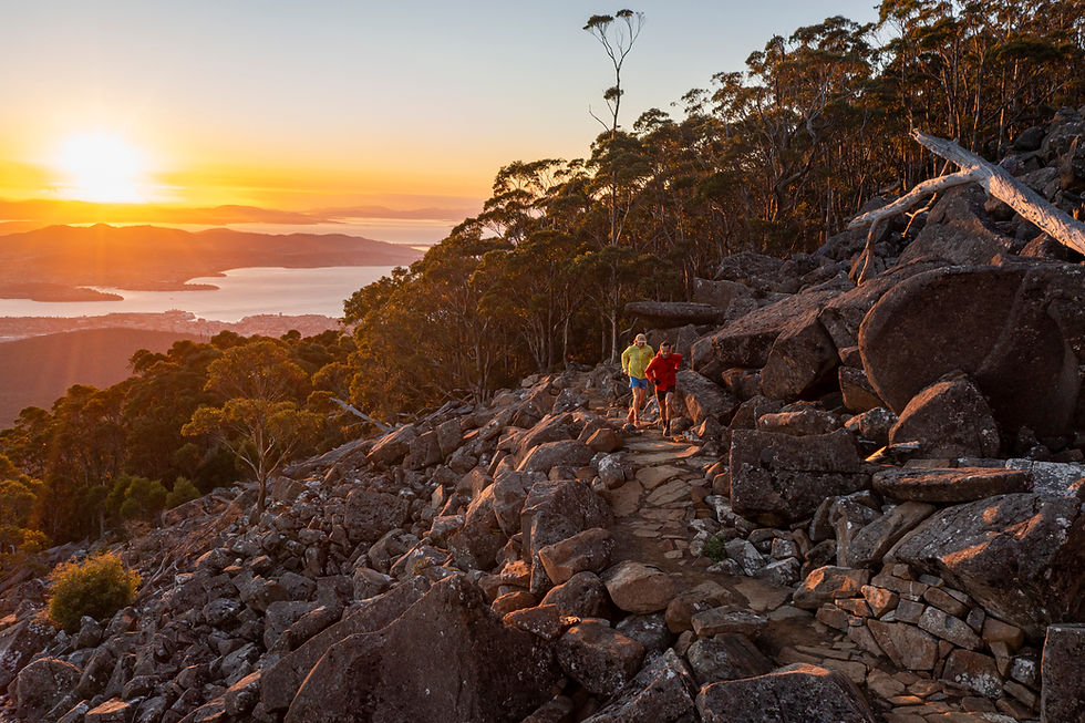
The geology of the Wellington Park provides the physical foundation for the landscape, ecosystems and character of the Wellington Range – the sheer dolerite columns of the Organ Pipes, hidden caverns of Lost World, familiar features of Collins Cap and Collins Bonnet, the band of sandstone beneath the Wellington Range and mudstone waterfalls in the foothills.

The geology of the Wellington Park provides the physical foundation for the landscape, ecosystems and character of the Wellington Range – the sheer dolerite columns of the Organ Pipes, hidden caverns of Lost World, familiar features of Collins Cap and Collins Bonnet, the band of sandstone beneath the Wellington Range and mudstone waterfalls in the foothills.
-
Begin at the start of the Hobart Rivulet Track at Linear Park off Mole Street. Follow the Hobart Rivulet Track past the Cascades Female Factory and the Cascade Brewery. Turn right past the “silos”, over the bridge and onto the Cascade Walking Track.
-
Follow the track to the intersection at Main Fire Trail, go straight across to the Myrtle Gully Track and onto Junction Cabin.
-
Take the Hunters Track to the Chalet before continuing uphill along Pinnacle Road.
-
Look out for the start of the Panorama Track. The track exits the road on your left prior to reaching Big Bend. Careful of vehicles!
-
Follow Panorama Track to re-join Pinnacle Road then onwards to the Summit once again being careful of vehicles!
-
Climb the Summit trig and head down the Zig Zag Track to the Springs where we recommend enjoying a cuppa at the Lost Freight Cafe!
-
Take the Lenah Valley Track from the Springs back to Junction Cabin. Half way along we suggest you stop at Sphinx Rock, on the right.
-
Return back on the same tracks along which you have travelled. We recommend enjoying a bite to eat at our friends at Hamlet Cafe!
-
Toilets - No - first toilet is approx. 2km up the Hobart Rivulet Track at Cascade Gardens.
Water - No.
Parking - No. The carpark at the start of the Hobart Rivulet Track is private use only. We suggest parking in a Hobart CBD multi-story carpark or South Hobart and walking to the start location.
Services - Hamlet Cafe is located at the start/finish location. Hobart CBD is a 500m walk and South Hobart shopping strip is an 800m walk.
Phone coverage - Telstra, Optus & Vodafone.Terrain Smooth gravel footpaths to steep, technical mountain trails. The route includes 2 very short sections of asphalt road. Trail experience is required.
Approx. Duration 3.5 – 5.5hrs


FIND YOUR FEET
© 2024 Wilder Trails by Find Your Feet Australia
CONTACT US


